
WB Land Info Case Study
WB Land Info is a feature-rich mobile application designed to make land-related information and everyday document management more accessible for people in West Bengal. The app brings together land record services, land measurement tools, document utilities, and productivity features in a single, user-friendly interface.
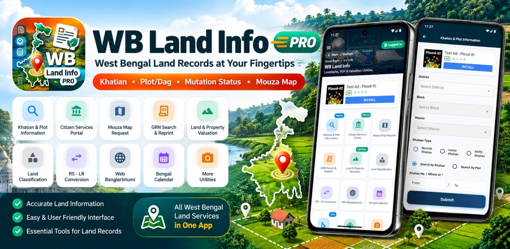
Application Interface & Workflow Views
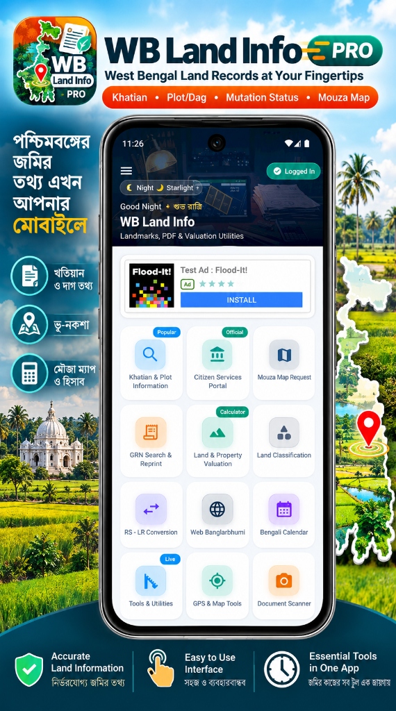
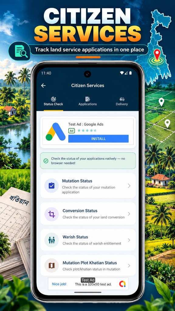
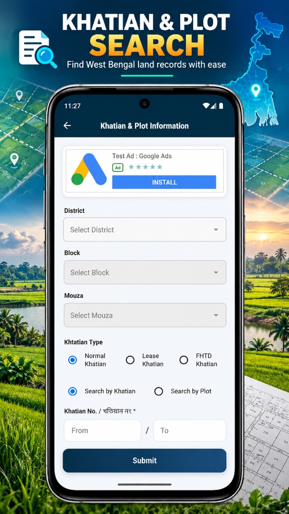
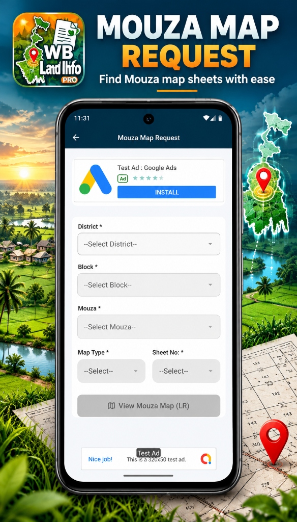
“WB Land Info brings essential land-information access and useful document utilities together in one convenient mobile application, reducing the effort required to switch between multiple tools for everyday tasks.”
Mobile Product Evaluation
Application Architecture Review
Overview & Bottleneck
WB Land Info is a feature-rich mobile application designed to make land-related information and everyday document management more accessible for people in West Bengal. The app brings together land record services, land measurement tools, document utilities, and productivity features in a single, user-friendly interface.
The Bottleneck: Landowners, property buyers, and surveyors in West Bengal often faced friction when switching between disparate web portals and multiple tools for Khatian/Plot checks, land area calculations, document scanning, and file size reduction for online filings.
Research & UX Strategy
Target Audits: Researched end-user workflows across urban and rural West Bengal. Users required direct mobile access to Khatian & Plot lookups, Mouza map requests, regional unit area calculators (Katha, Bigha, Acre), and built-in utilities like OCR and target-size image compression.
Wireframing & Prototypes: Designed an intuitive dashboard organizing 9 essential modules: Khatian & Plot Search, Citizen Services Portal, Mouza Map Request, Land Classification, RS-LR Conversion, GPS Area Calculator, Document Scanner, and Daily Notebook.
Design System & Code
Visual Design: Built a modern mobile experience with day/night modes, clear iconography, regional language support, and seamless Google AdMob integration (native, banner, and interstitial) compliant with user experience policies.
Engineering Logic: Engineered using Flutter and Dart with REST API integrations, Google Maps SDK for GPS walking/perimeter calculations, on-device OCR text extraction, image compression controls, and Google Mobile Ads SDK.
Tech & Challenges
Core Engineering Challenge: Ensuring accurate GPS polygon perimeter calculations during field walks while maintaining battery efficiency, and keeping ad formats respectful of core document and calculator workflows.
Lessons Learned
Engineering key platforms requires decoupling heavy database calls from primary user interfaces. Serverless Edge Caching and optimistic UI updates guarantee that end users never experience loading freezes.
Business Outcomes
Successfully created an all-in-one utility application that simplifies West Bengal land-related information discovery, precise map surveys, and document processing into one polished Android app.
Related Engineering Services
Experience WB Land Info Live
Explore the live production web app or download the Android mobile application on Google Play.