
SaaS & BusinessLive
UniSalon
UniSalon is a salon booking and management platform designed to help salon businesses manage appointments, provider operations, and billing through a connected digital experience.
Land Information and Digital Utilities in One Mobile Experience.
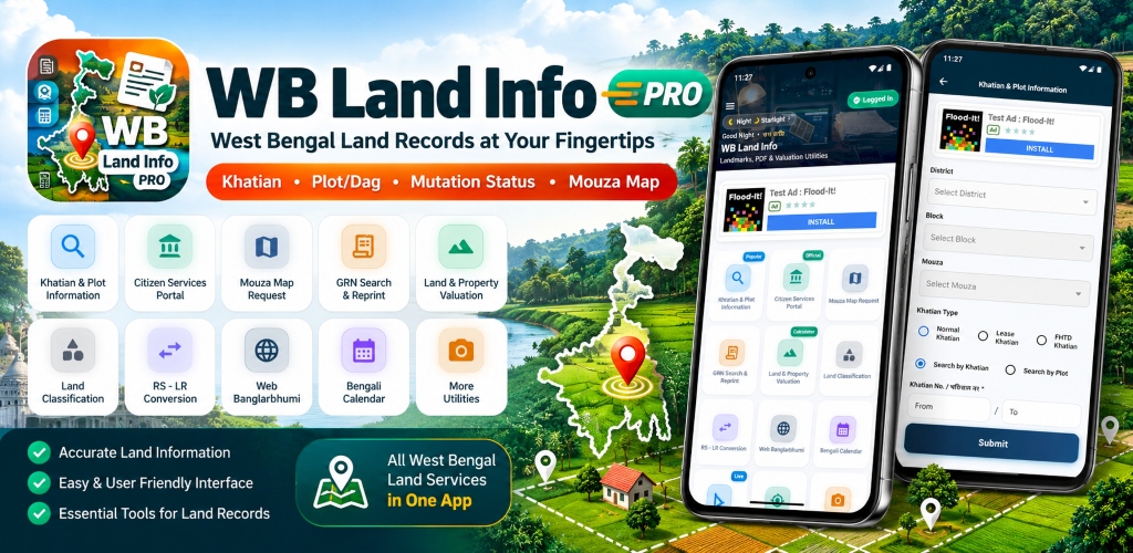
WB Land Info Pro combines public land record search portals with GPS area measurement, unit conversion utilities, and PDF document toolkits into a single, intuitive mobile application for West Bengal citizens.
Landowners, legal consultants, property buyers, farmers, and real-estate surveyors.
Mobile Utility Application (Flutter/Android)
WB Land Info Pro is a mobile utility application that brings together land-record-related information and useful document and location tools for West Bengal users.
Citizens and field surveyors frequently need to cross-reference official public land information while on-site, yet existing state web portals are difficult to navigate on mobile browsers without responsive scaling. Furthermore, surveyors must juggle separate apps for unit conversions, GPS area measurements, and document scanning.
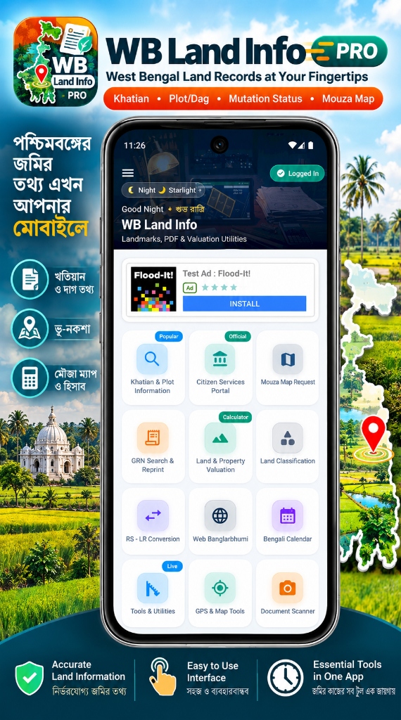
Identified the 9 core utilities needed by field property owners and integrated them into a cohesive dashboard.
Adopted a modular card-based UI with clear iconography, quick-access search shortcuts, and offline-capable conversion calculators.
Built using Flutter with native Google Maps SDK for GPS polygon area computation, on-device OCR tools for document reading, and robust webview handlers for public portals.
Engineered to run seamlessly across Android 8.0 through Android 15 with minimal memory footprint and battery efficiency.
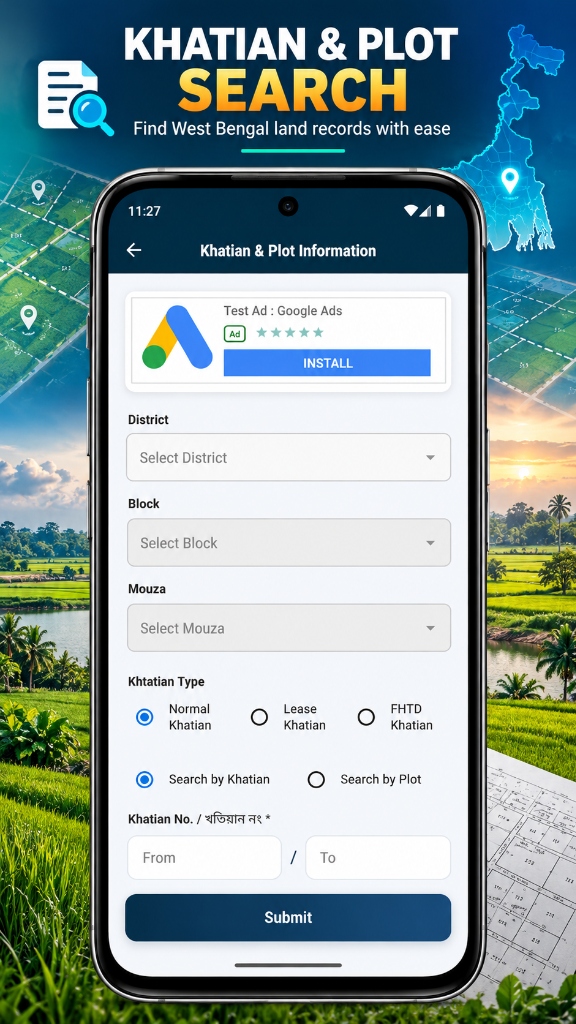
Mobile-optimized portal workflow for checking publicly available land records and Khatians.
Direct query forms for plot division details, shareholdings, and land classifications.
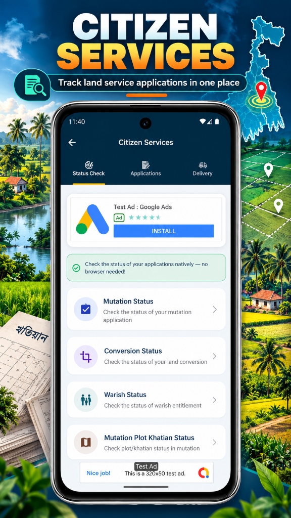
Status verification tools for tracking legal succession cases and mutation application statuses.
Historical record conversion reference utility translating Revisional Settlement to Land Reforms data.
Field measurement tool calculating land perimeter and acreage using live satellite coordinates.
Integrated on-device document scanner, PDF merger, and image compression utilities.
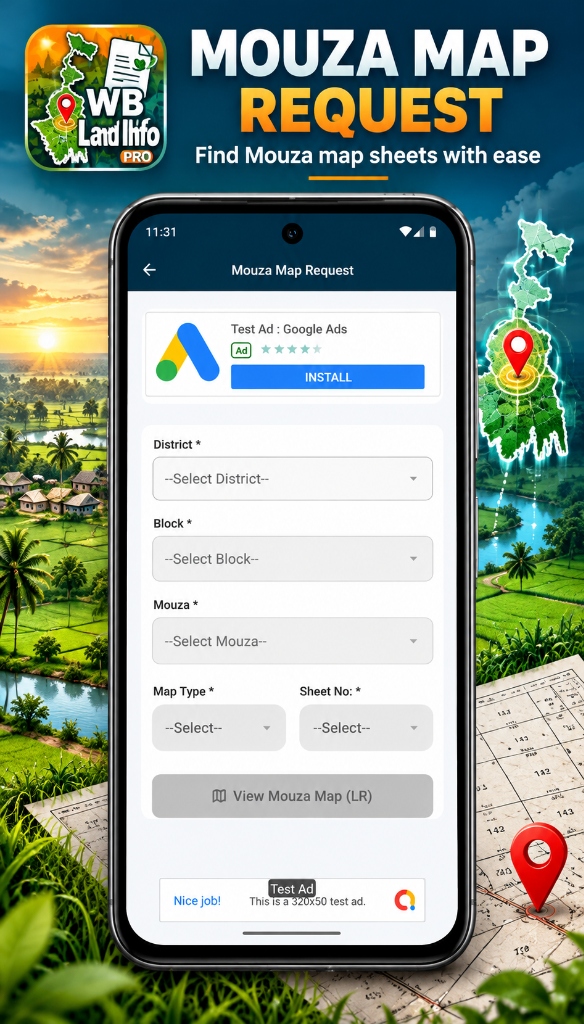
Native Flutter application operating largely client-side for GPS calculations and document processing, routing web lookups through managed webview containers.
Responsive interface featuring quick-access cards and categorized utility menus.
Performs mathematical conversions and polygon area measurements directly on the device.
Allows users to query public BanglarBhumi records without leaving the application environment.
Surveyed common land record queries and conversion issues faced by West Bengal residents.
Created mathematical algorithms for regional land units (Satak, Katha, Bigha, Acre).
Connected Google Maps polygon calculation APIs to calculate walked field boundaries.
Built local image compression and PDF export pipelines directly in Dart.
Benchmarked performance on low-end smartphones across West Bengal districts.
Published live on the Play Store with continuous user feedback updates.
UniSalon is a salon booking and management platform designed to help salon businesses manage appointments, provider operations, and billing through a connected digital experience.
AstroTalky is an AI-powered astrology application built to provide an interactive astrology experience through a mobile-first product.
BanglaSathi is a digital information platform focused on government schemes, public-benefit information, and career-related updates for users in West Bengal.
Let's turn your next software idea into a well-engineered digital product. We blueprint architectures, estimate timelines, and ship production-ready applications.